
Latest Version
Version
9.12.3
9.12.3
Update
March 06, 2025
March 06, 2025
Developer
Qvyshift LLC
Qvyshift LLC
Categories
Weather
Weather
Platforms
Android
Android
Downloads
0
0
License
Free
Free
Package Name
com.rmtheis.fireguard
com.rmtheis.fireguard
Report
Report a Problem
Report a Problem
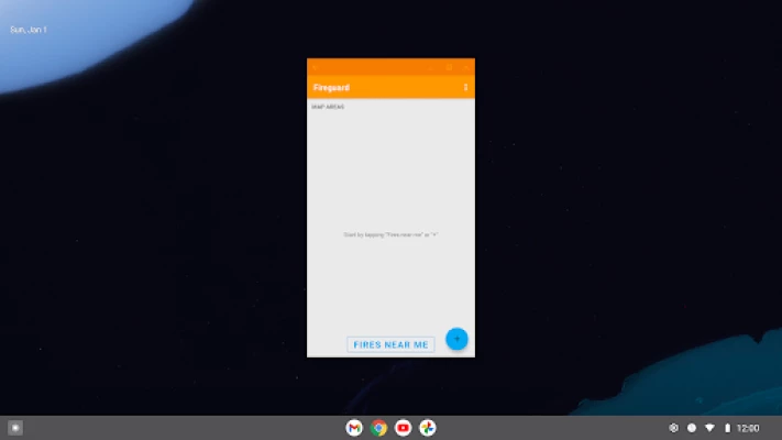
More About Fireguard Wildfire Tracker
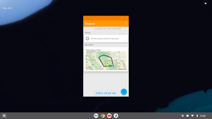
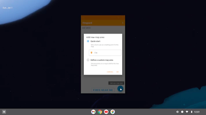
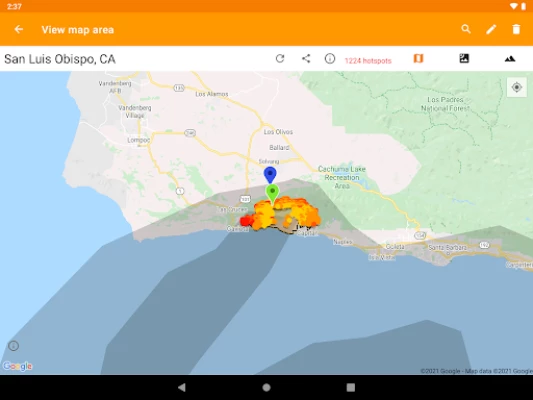
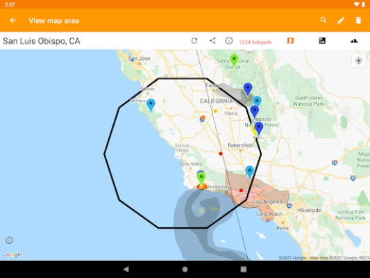
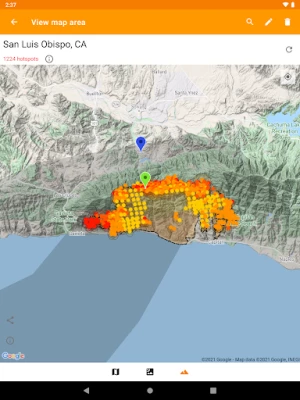
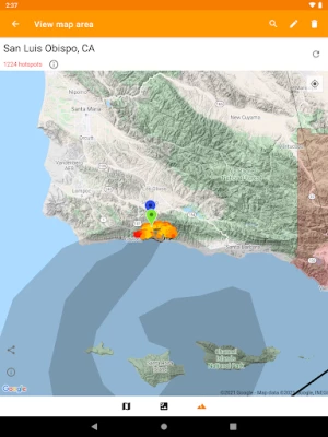
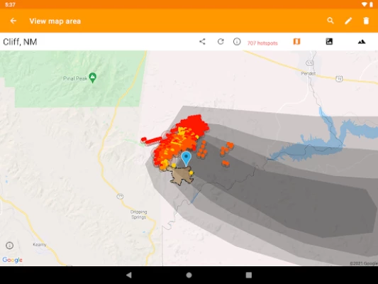
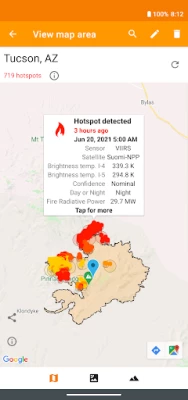
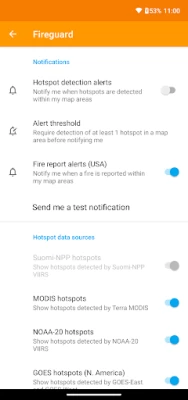
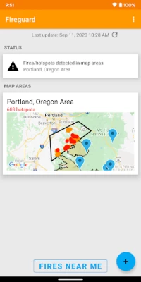
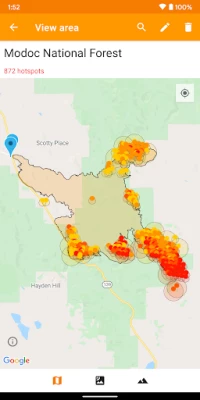
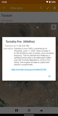
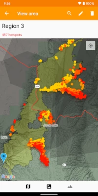
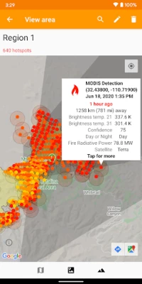
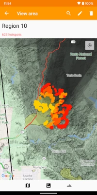
Get a powerful wildfire activity tracking map with fire alerts and near real-time tracking of fire locations and progression. See details of fire activity overlaid on a single map:
• Hotspots identified by satellite-based sensors
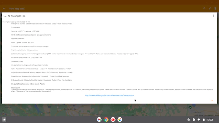
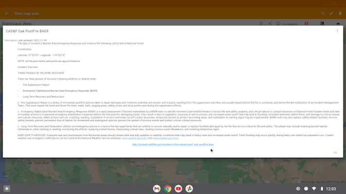
• US & Canada wildfire incident reports
• Wildfire burned area boundaries
• Crowdsourced fire report markers
• NOAA smoke areas
• Cal Fire incident detail
• Fire weather risk areas
• Fire cameras
Who can benefit from this app?
• Anyone living or working...
• Hotspots identified by satellite-based sensors
• US & Canada wildfire incident reports
• Wildfire burned area boundaries
• Crowdsourced fire report markers
• NOAA smoke areas
• Cal Fire incident detail
• Fire weather risk areas
• Fire cameras
Who can benefit from this app?
• Anyone living or working...
Rate the App
Add Comment & Review
User Reviews
Based on 0 reviews
No reviews added yet.
Comments will not be approved to be posted if they are SPAM, abusive, off-topic, use profanity, contain a personal attack, or promote hate of any kind.


More »

Popular Apps
Statastic Basketball TrackerStatastic Solutions FlexCo

Peacock TV: Stream TV & MoviesPeacock TV LLC

WPS Office-PDF,Word,Sheet,PPTWPS SOFTWARE PTE. LTD.
TCG Card Store Simulator 3DBlingames

Mr.Billion: Idle Rich TycoonIDSIGames

Ludo King®Gametion

RealVNC Viewer: Remote DesktopRealVNC Limited

3D Chess GameA Trillion Games Ltd

Meta Business SuiteMeta Platforms, Inc.

Rebirth Master - Idle RPGTunup Games
More »
Editor's Choice

Grim Soul: Dark Survival RPGBrickworks Games Ltd

Craft of Survival - Gladiators101XP LIMITED

Last Shelter: SurvivalLong Tech Network Limited
Dawn of Zombies: Survival GameRoyal Ark

Merge Survival : WastelandStickyHands Inc.

AoD Vikings: Valhalla GameRoboBot Studio
Viking Clan: RagnarokKano Games

Vikings: War of ClansPlarium LLC

Asphalt 9: LegendsGameloft SE
Modern Tanks: War Tank GamesXDEVS LTD